
Camelback Mountain, 2025
Meet the patients we climbed for on Camelback Mountain, Arizona
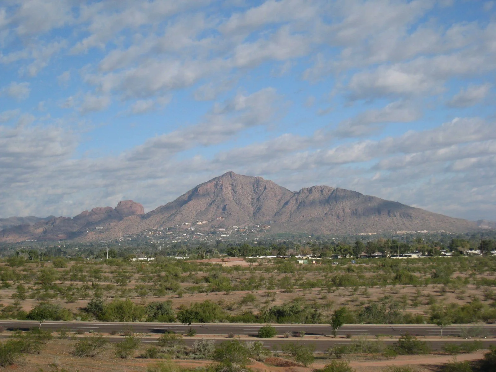
Climb of the Camelback Mountain, Phoenix, Arizona 2025
Camelback mountain is a small, but well-known mountain between Phoenix and Scottsdale. Because of it’s proximity to these metropolitan areas, it sees quite a bit of traffic, but it is not for the light of heart. There are many areas with quite a bit of exposure and a few places where you need to use your hands.
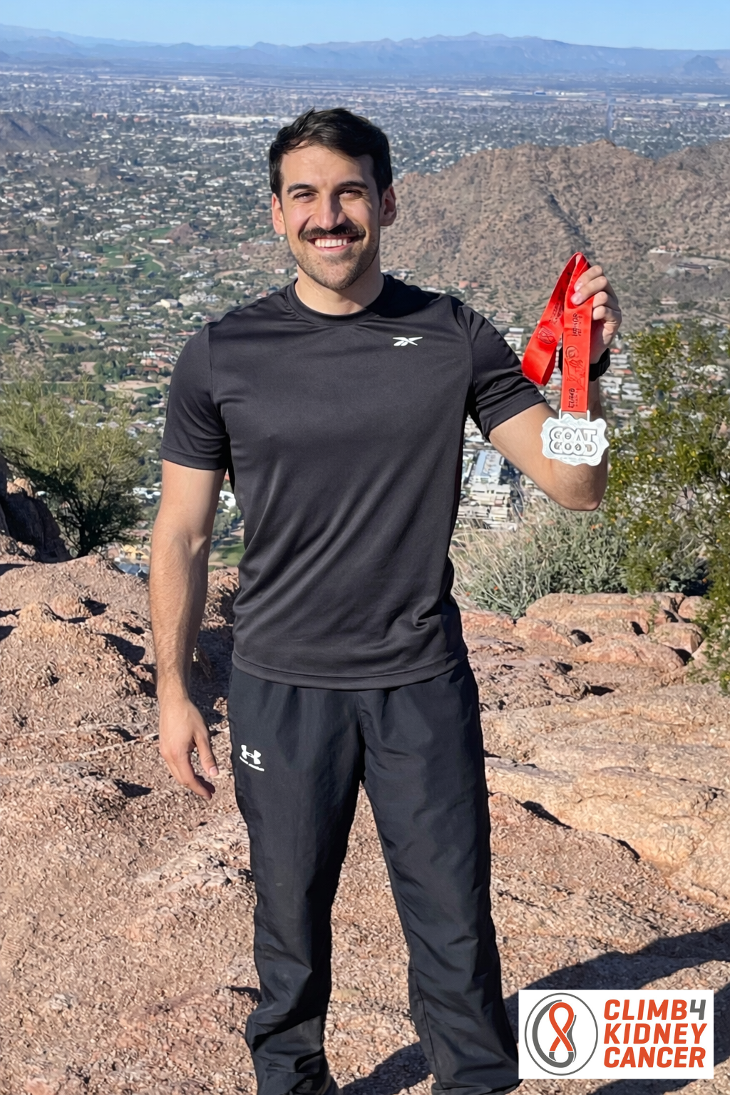
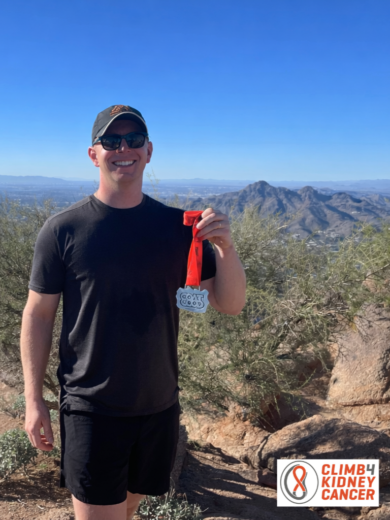
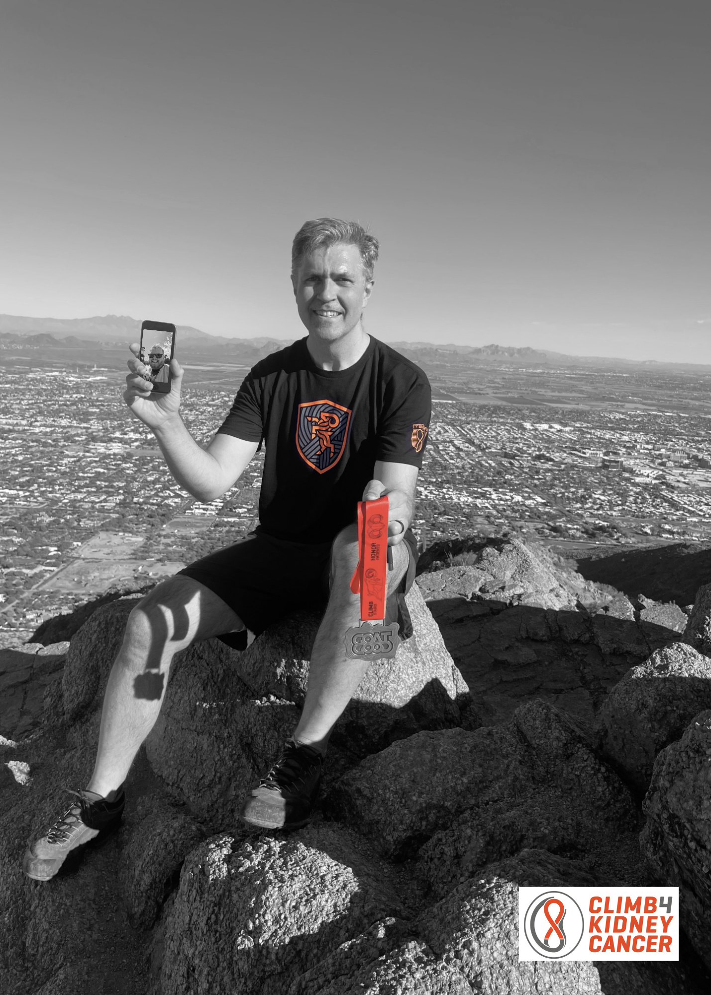
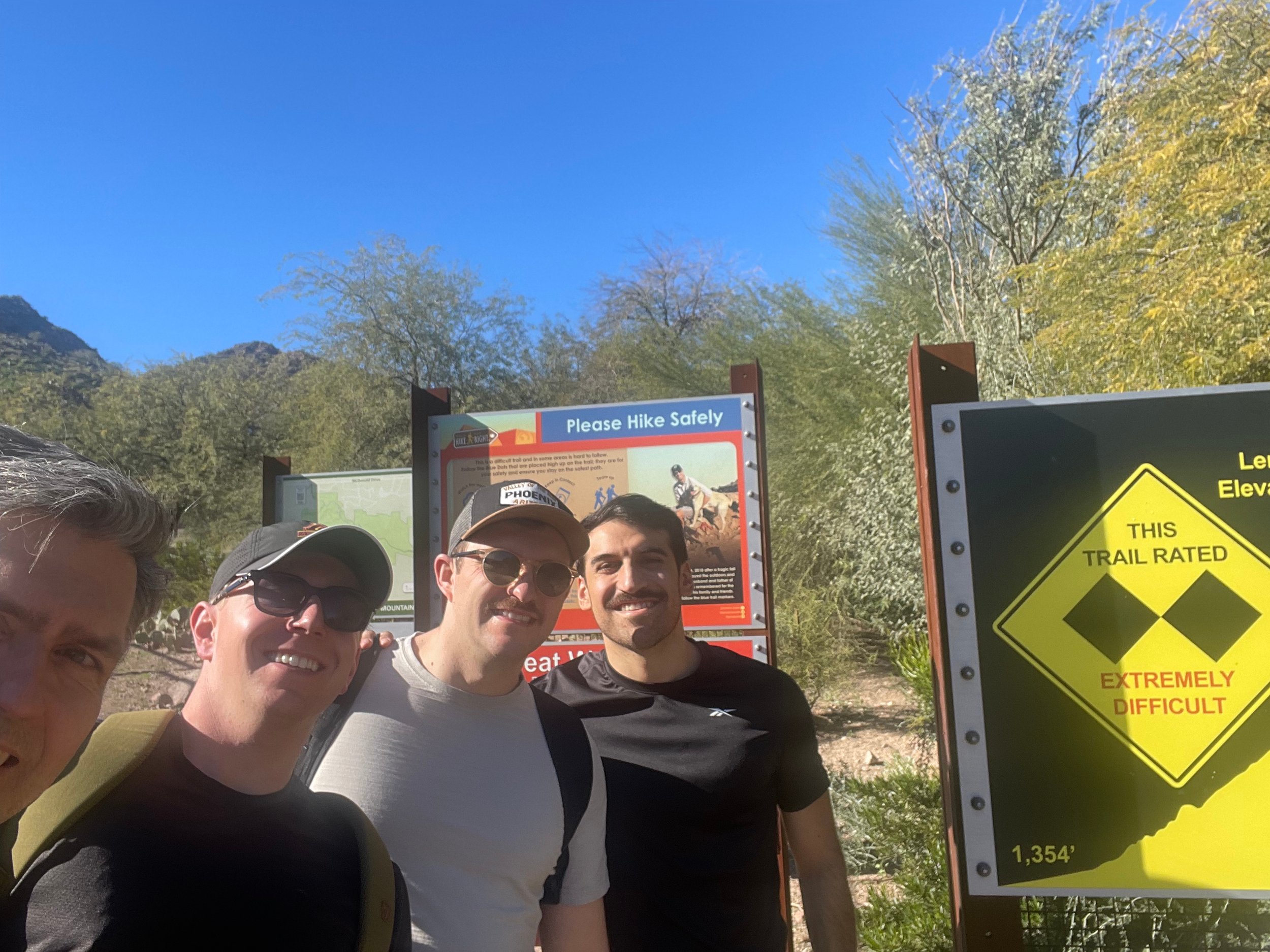
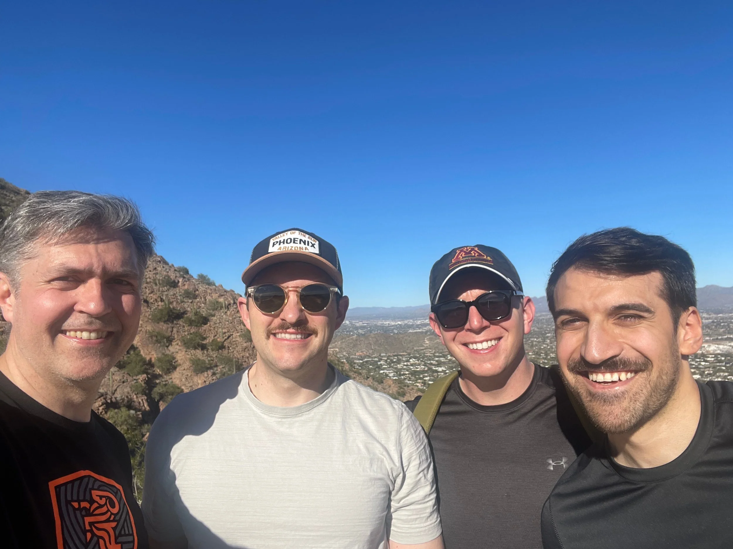
This time we had three new climbers, all doctors from Cleveland Clinic attending and presenting some of the research funded by Climb 4 Kidney Cancer at the Society of Urologic Oncology (SUO) annual meeting. Therefore Dr. Jacob Knorr, Dr. Sean McSweeney and Dr. Salim Younis along with Dr. Christopher Weight.
We had a pretty tight window between sessions, so we really had to hustle. It was December and the weather was really pleasant for the hike, though the sun was bright, the air was cool.
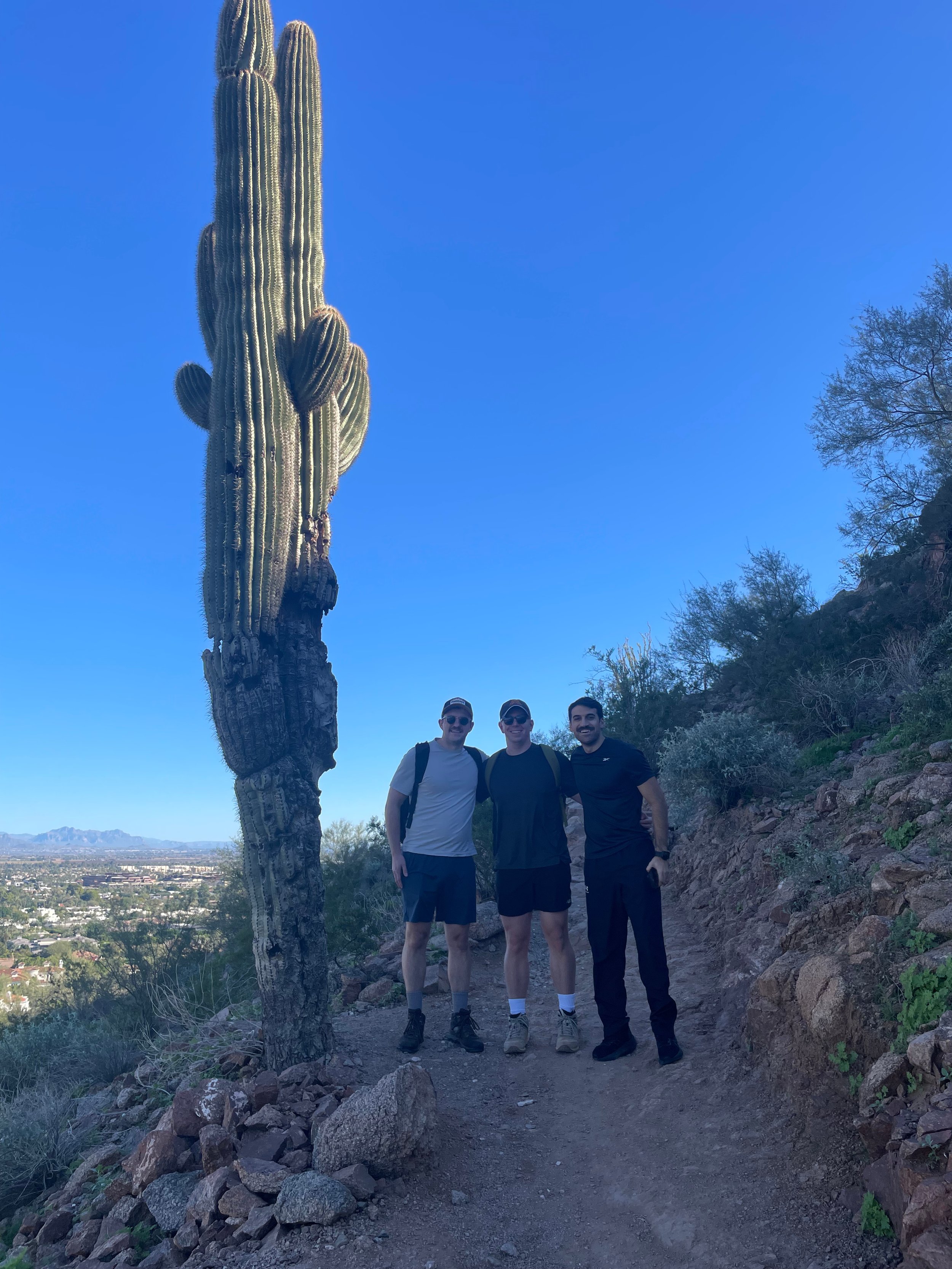
We passed through typical Southwestern US desert landscapes with rocks and dust, but every once in a while, we’d pass an amazing saguaro cactus. This one is over 20 feet tall.
The first part is a typical wide trail with good markings, but as we got higher on the mountain, the trail become more rugged and rocky and we could see why it was rated a double black diamond trail. There were several spots where using your hands made it much easier and more stable, and even a few spots that a mis-step or stumble could send you falling a long way.
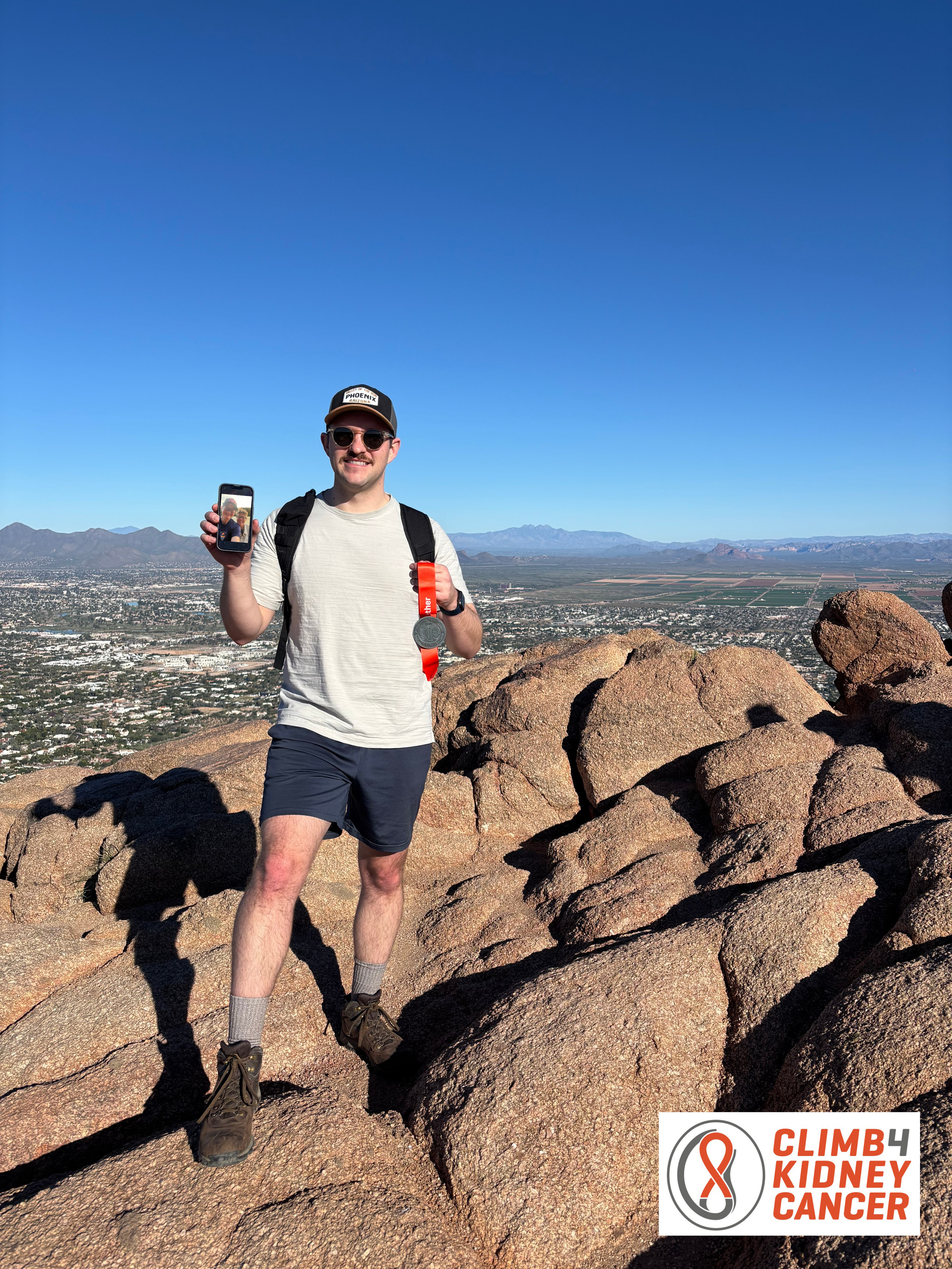
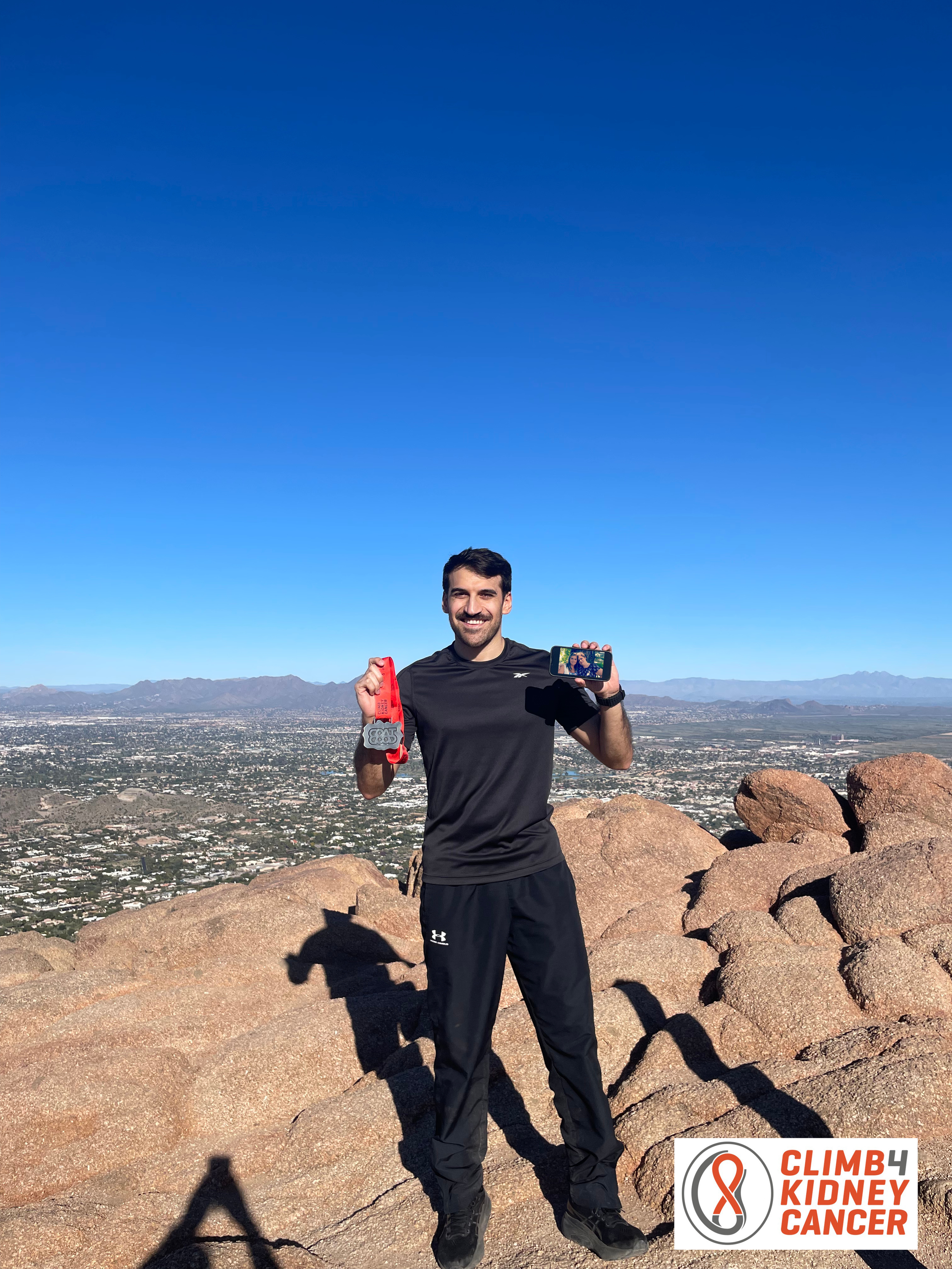
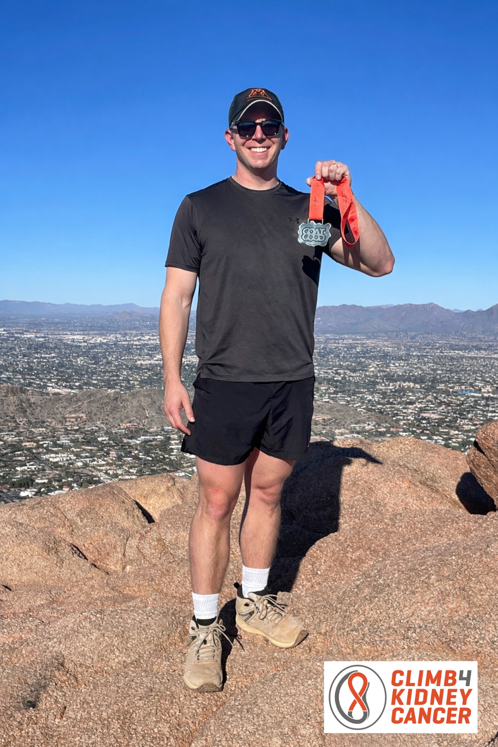
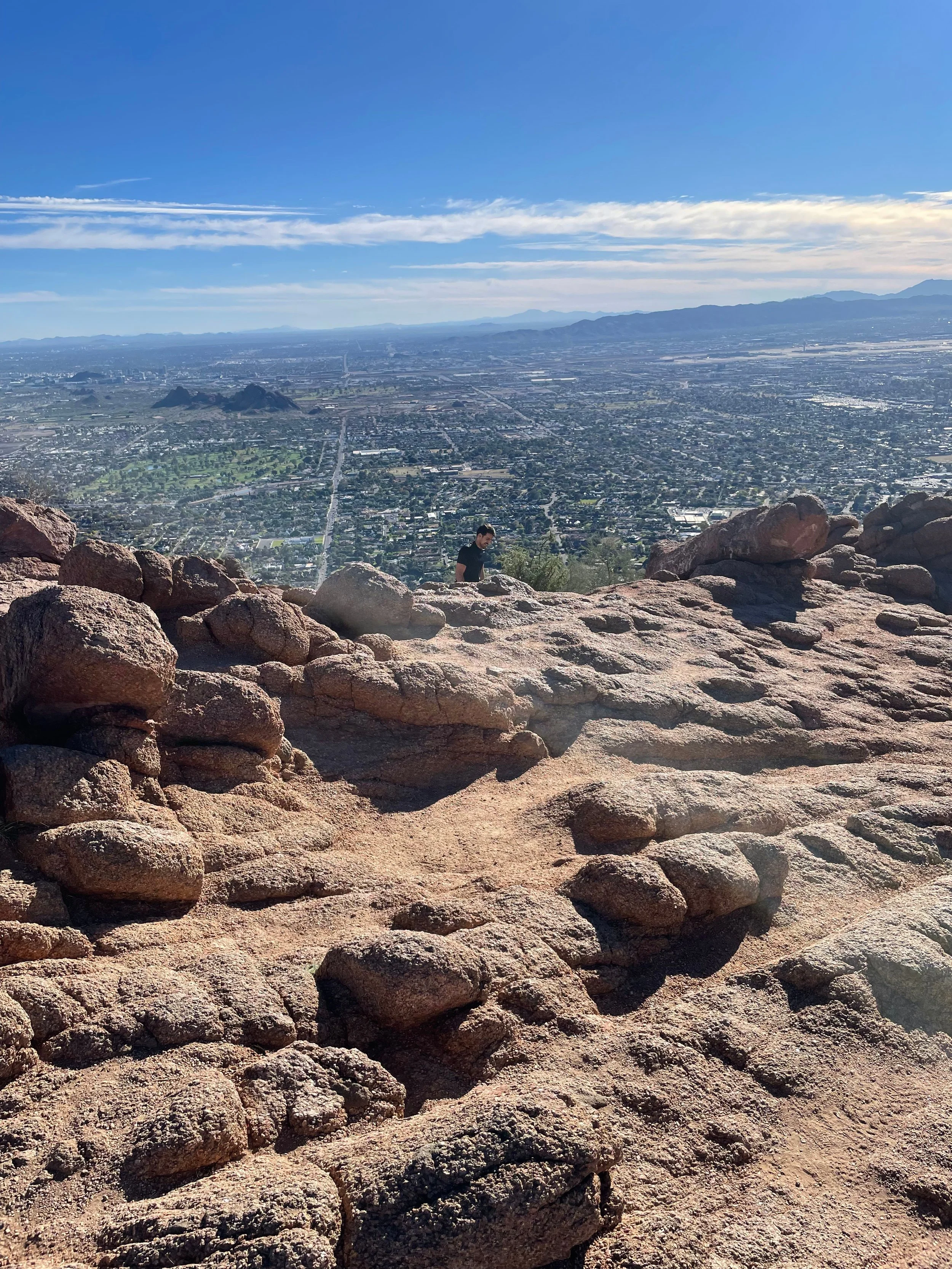
We pushed hard and in just less than an 50 minutes, we made it to the summit. We had a clear view of the entire Phoenix valley and we could see airplanes landing. Not many people get to see airplanes from the top when they are in flight! We could see for miles in every direction. This is a view those of us from Northeast Ohio rarely see because there are just too many trees and not enough elevation.
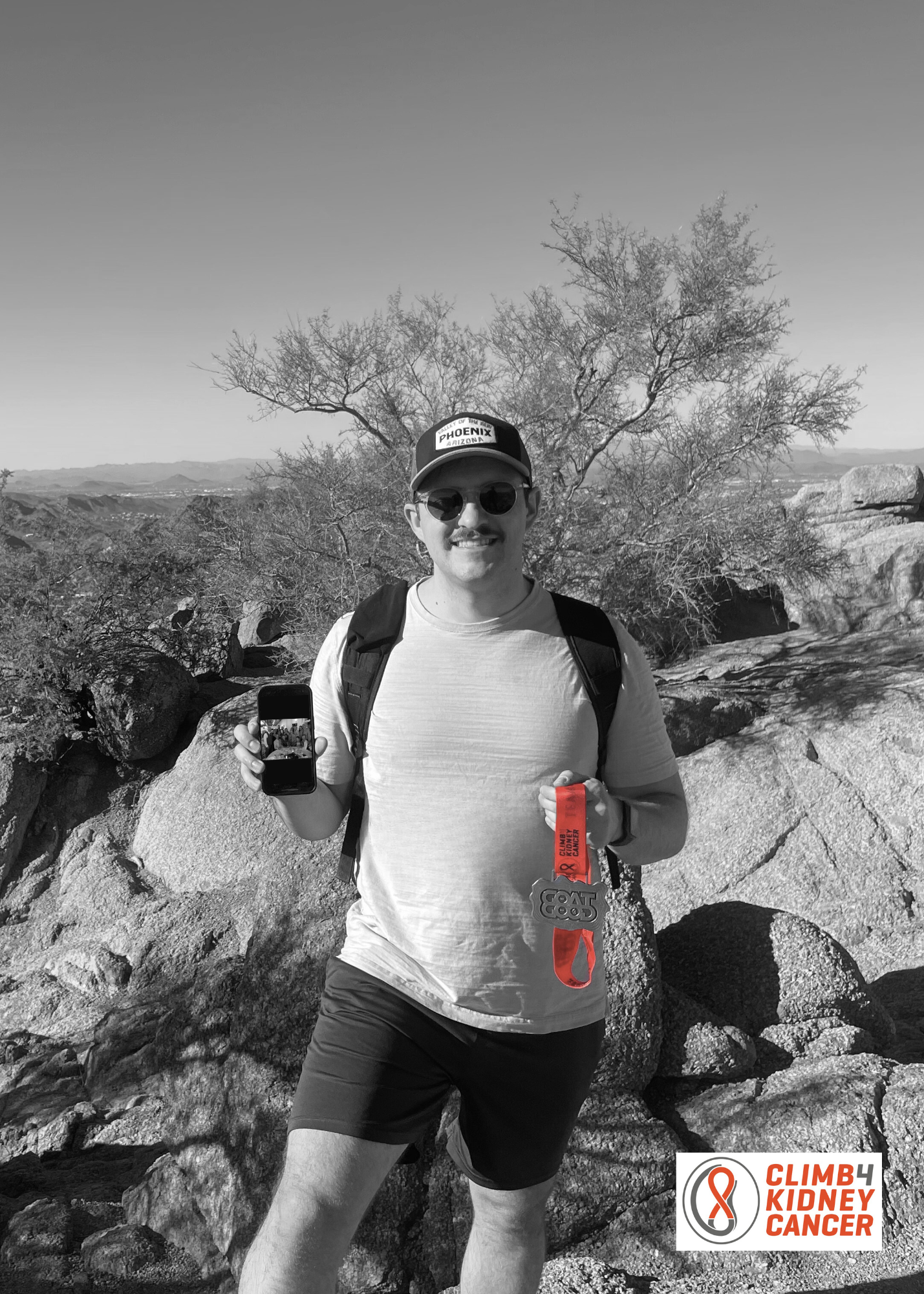
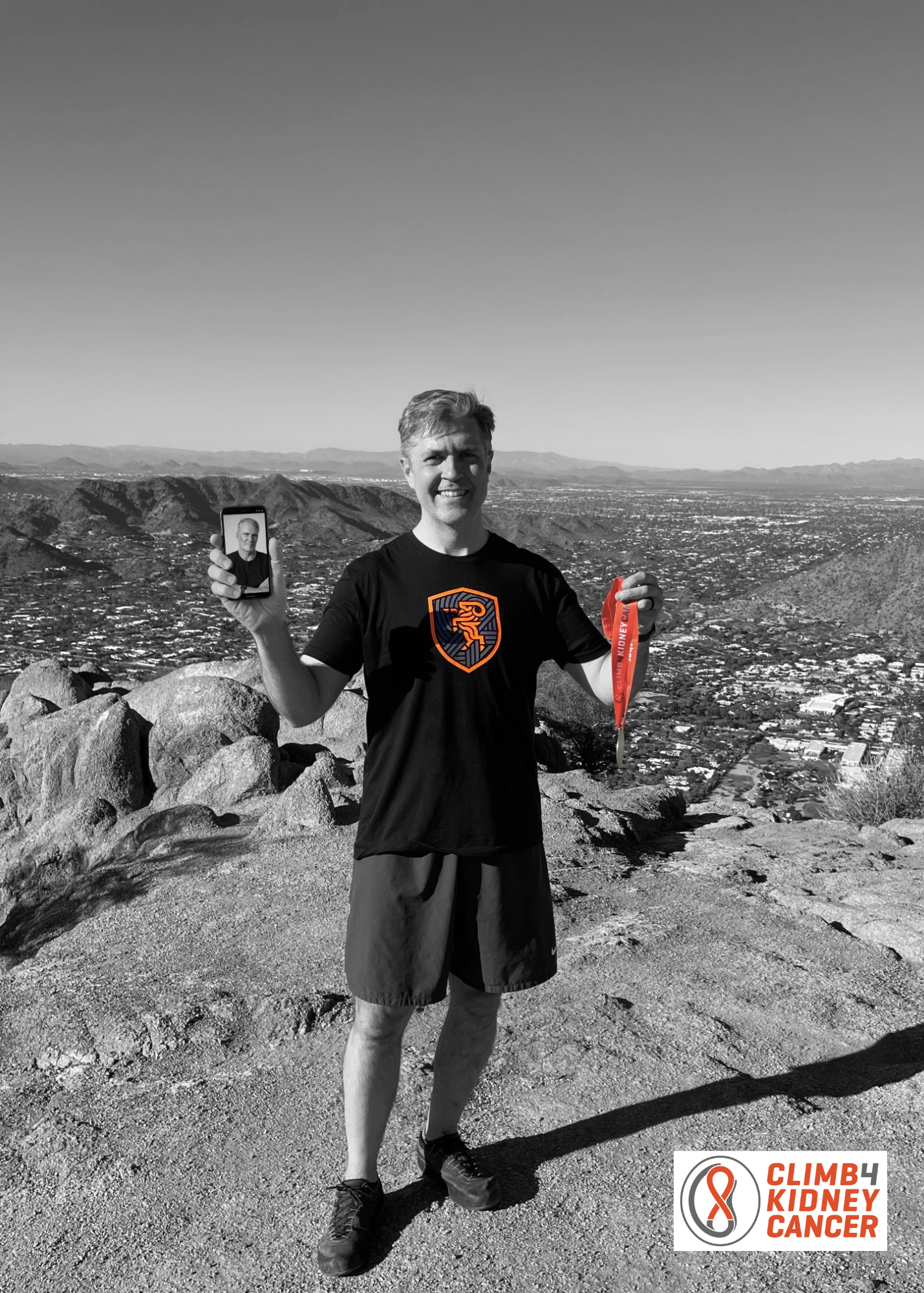
Once on the summit, we made our dedications to the patients we had been climbing for: Jeffrey, Leroy, Dolph, Phi, Greg, Graham, Rita, and Deb. We discussed their stories as we were climbing and connected to them in our journey.
All smiles at the trailhead with the foreboding sign! Double Black Diamond
Dr. Younis just cresting to the summit
Feeling good 2/3rd of the way to the summit